
NATGEO
NATIONAL GEOGRAPHIC MAPS
Founded in 1915 as the Map Department of the National Geographic Society, National Geographic Maps is responsible for illustrating the world around us through the art and science of mapmaking. Today, National Geographic Maps continues this mission by creating the world’s best wall maps, outdoor recreation maps, travel maps, atlases and globes that inspire people to care about and explore their world.
WHO IS NATIONAL GEOGRAPHIC MAPS
Gilbert H. Grosvenor, National Geographic magazine’s founding editor, is credited with saying that “A map is the greatest of all epic poems. Its lines and colors show the realization of great dreams.” This statement has inspired the work of National Geographic cartographers for nearly a century and accurately summarizes the way maps can capture the imagination. Maps can inspire real or fantastic travel plans, enhance one’s understanding of international events, or help bring history to life.


National Geographic’s Boise National Forest Central illustrated map spans the heart of the Boise National Forest between Boise and McCall, Idaho, encompassing the North Fork Range and West Mountains on its west side, and the Salmon River Mountains to the east. This spectacular region of mountain peaks, ridges, and valleys is trisected by the North, Middle, and South Forks of the Payette River and carved further by the South Fork’s main tributary, the Deadwood River, with their many whitewater stretches, hot springs, campgrounds, canyons, valleys, and meadows.
The region is traversed by hundreds of miles of multi-use, multi-season trails and dotted with lookout towers, recreation facilities, and reservoirs. The west side includes the town of Cascade at the southern end of Lake Cascade, with its developed beaches, boat ramps, and picnic areas, and Sage Hen Reservoir and the KYAOTT ATV Trail network of motorized trails, plus camping on the reservoir. The more remote east side of the map includes Deadwood Reservoir, a salmon and trout-stocked lake ringed by mountains, with several campgrounds and boat ramps. The village of Lowman sits in the heart of the region, near the whitewater confluence of the Deadwood and South Fork Payette Rivers and the road junction of the Wildlife Canyon and Ponderosa Pine Scenic Byways. Lowman is central to many campgrounds, cabins, yurts, whitewater access points, and motorized and non-motorized trails used throughout the year, including the Banner Ridge, Gold Fork, and Whoop Um Up winter recreation areas and their networks of all-season trails with cabins and yurts.
All trails are marked and labeled with trail mileages and uses, with steep slopes clearly indicated. Road mileages for navigating through the region are also marked and labeled to help estimate travel times. The map margins include fishing, hunting, and motorized vehicle regulations, plus contact information for local, state, and federal land and resource management agencies and Leave No Trace guidelines and ethics.
Every Trails Illustrated map is printed on “Backcountry Tough” waterproof, tear-resistant paper. A full UTM grid is printed on the map to aid with GPS navigation. 27% of the proceeds from the sale of this map fund the National Geographic Society’s work in the areas of science, exploration, conservation, and education.
Other features found on this map include: Boise National Forest, Deadwood Reservoir, Goat Mountain, Lake Cascade, North Fork Range.
Waterproof
Tear-Resistant
Topographic Map
Product Code TI00000872
UPC 749717054240
Folded Size 4.25" x 9.25"
Flat Size 25.5" x 37.75"
Copyright Date 2022
Page Count 2
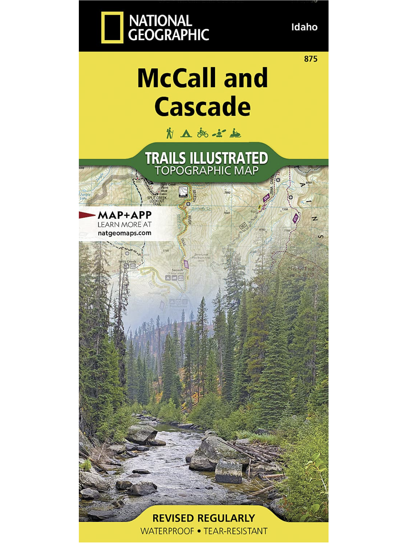
Centered on Payette Lake and the resort town of McCall, the map covers the western half of Payette National Forest and the North Fork Payette River, the northern section of Boise National Forest including Warm Lake and Vulcan Hot Springs, the South Fork Salmon River, and Lake Cascade and the town of Cascade. This mountainous region of lakes, ponds, rivers, streams, wetlands, and wide and narrow valleys features extensive motorized and non-motorized trails and recreation areas for year-round adventures on land, water, and snow, located just over 2 hours from Boise. Opportunities abound for hiking, fishing, camping, hunting, skiing, and snowmobiling across the region’s federal and state lands.
Multi-use recreation features on the map include big game management units, ranger district boundaries, research natural areas, wilderness study areas, as well as the boundaries and amenities of state lands including Ponderosa State Park and Lake Cascade State Park. Trails of all types are meticulously mapped, classified, and labeled, including the Lava Ridge National Recreation Trail, a 60-mile section of the Idaho Centennial Trail, and hundreds of miles of groomed winter snowmobile routes. Natural features and landmarks are clearly mapped and labeled, and visitor amenities are shown for all developed camping and recreation sites, including campsite capacities, water put-ins and take-outs, winter activities, hot springs, lookout towers, restrooms, food, gas, lodging, and picnic tables. The map includes the towns of McCall, Cascade, Council, New Meadows, and Donnelly and the historic settlements of Burgdorf Hot Springs, Warren, and Warm Lake, the Brundage Mountain and Tamarack ski resorts, and the north end of the Payette River Scenic Byway.
All trails are marked and labeled with trail mileages and uses, and elevations at junctions, with steep slopes clearly indicated. Road mileages for navigating through the region are also marked and labeled to help estimate travel times. The map margins include fishing, hunting, and motorized vehicle regulations, plus contact information for local, state, and federal land and resource management agencies and Leave No Trace guidelines and ethics.
Every Trails Illustrated map is printed on “Backcountry Tough” waterproof, tear-resistant paper. A full UTM grid is printed on the map to aid with GPS navigation. Every map purchase helps support the National Geographic Society, an impact driven, nonprofit organization with global reach that uses the power of science, exploration, education, and storytelling to illuminate and protect the wonder of our world.
Other features found on this map include: West Mountains, Grass Mountains, Salmon River Mountains, Grass Mountains, Long Valley, Secesh River, Weiser River, French Creek, Little Salmon River, Thunderbolt Mountain, Hard Butte, Lava Butte, Bear Basin, Lava Lakes, Carey Lakes, Crestline Trail.
Waterproof
Tear-Resistant
Topographic Map
Product Code TI00000875
UPC 749717054288
Folded Size 4.25" x 9.25"
Flat Size 25.5" x 37.75"
Copyright Date 2022
Page Count 2
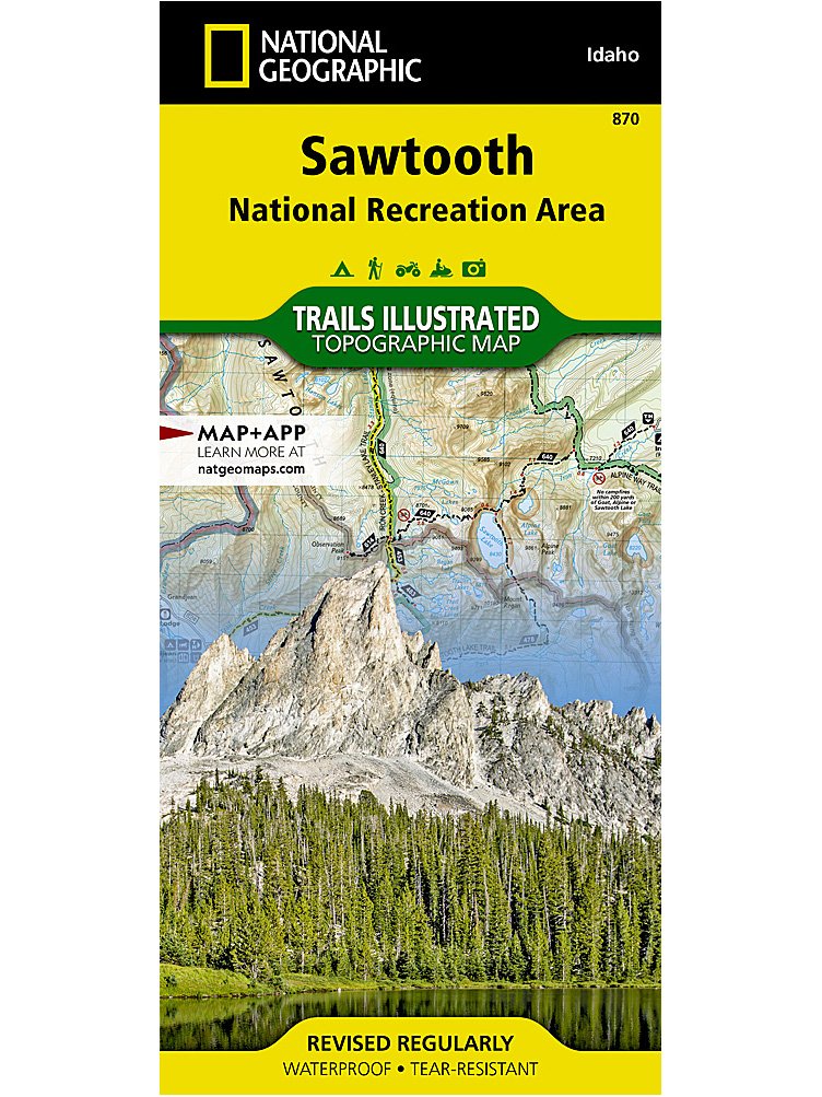
The Sawtooth National Recreation Area, located in the heart of central Idaho, boasts three Wilderness areas: the Sawtooth Wilderness, Cecil D. Andrus-White Clouds Wilderness, and Hemingway-Boulders Wilderness, three mountain ranges: Sawtooth Range, Boulder Mountains and White Cloud Peaks and portions of the Smoky and Pioneer Mountains. The headwaters of four major river systems originate in the NRA, including the Salmon River, which starts its four hundred-mile journey west from the Sawtooth Valley.
Over 300 high-alpine lakes, forty peaks rising over 10,000 feet, and hundreds of miles of trails in the Sawtooth NRA create countless opportunities for recreation including: cross country skiing and mountain biking near Galena Summit, boating on Redfish Lake, and floating the Salmon River.
With hundreds of miles of mapped trails this map can guide you off the beaten path and back again in some of the most breathtaking scenery in the region. Trail mileages, trail use and seasonal closures will assist in choosing the path that is right for you. Recreation features are clearly marked, including campgrounds, trailheads, whitewater access points, interpretive trails, boat launches, Nordic ski areas, and other points of interest. The map base includes contour lines, shaded relief, and elevations for summits, passes and many lakes.
Every Trails Illustrated map is printed on “Backcountry Tough” waterproof, tear-resistant paper. A full UTM grid is printed on the map to aid with GPS navigation.
Waterproof
Tear-Resistant
Topographic Map
Product Code TI00000870
UPC 749717000094
Folded Size 4.25" x 9.25"
Flat Size 25.5" x 37.75"
Copyright Date 2022
Page Count 2
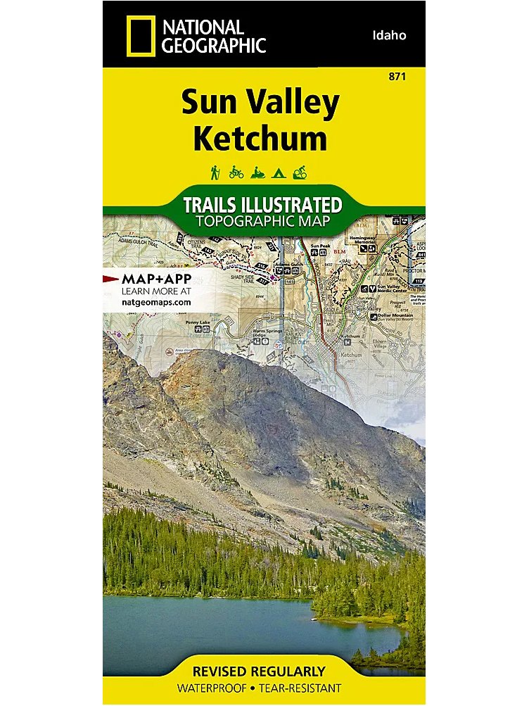
Sun Valley, a world-renowned ski resort, is surrounded by the scenic mountains of central Idaho and located within the Sawtooth National Forest. Nearby Ketchum, was the final home to the famous writer, Ernest Hemingway, who frequented the Sun Valley area to fish, hunt and write. Located in the Wood River Valley the towns of Sun Valley and Ketchum lead visitors into the wilds of the Pioneer, Smoky, Solider and Boulder mountain ranges and miles of trails popular for hiking, mountain biking, snowmobiling, and OHV use create endless opportunities for recreation.
With hundreds of miles of mapped trails this map can guide you off the beaten path and back again in some of the most breathtaking scenery in the region. Trail mileages, trail use and seasonal closures will assist in choosing the path that’s right for you. Recreation features are clearly marked, including campgrounds, trailheads, boat launches, ski areas, and other points of interest. The map base includes contour lines, shaded relief, and elevations for summits, passes and many lakes.
Every Trails Illustrated map is printed on “Backcountry Tough” waterproof, tear-resistant paper. A full UTM grid is printed on the map to aid with GPS navigation.
Waterproof
Tear-Resistant
Topographic Map
Product Code TI00000871
UPC 749717000100
Folded Size 4.25" x 9.25"
Flat Size 25.5" x 37.75"
Copyright Date 2022
Page Count 2
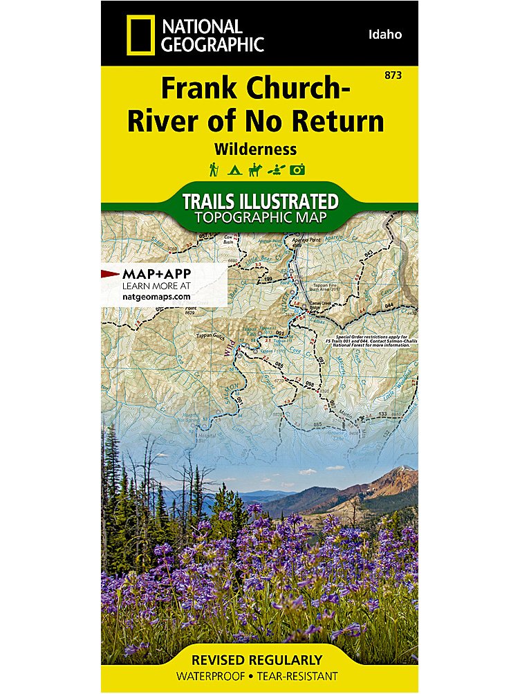
National Geographic's Trails Illustrated map of the Frank Church-River of No Return Wilderness maps the largest contiguous wilderness in the Lower 48 in its entirety. The area is filled with steep, rugged mountains, deep canyons, and wild, whitewater rivers. The Salmon River Canyon runs through the northern edge of the wilderness and is one of the deepest gorges in North America, deeper even than the Grand Canyon. "The River of No Return" name comes from the early days when boats could navigate down the river, but could not get back up through the fast water and numerous rapids.
The map includes both non-motorized and motorized trails, snowmobile routes, Idaho’s Game Management Units, backcountry facilities and landing strips, lookout towers, whitewater access sites, river camps, and milemarkers along major rivers. A large stretch of the Idaho Centennial Trail runs through the center of the map.
Every Trails Illustrated map is printed on "Backcountry Tough" waterproof, tear-resistant paper. A full UTM grid is printed on the map to aid with GPS navigation. Every map purchase helps support the National Geographic Society, an impact driven, nonprofit organization with global reach that uses the power of science, exploration, education, and storytelling to illuminate and protect the wonder of our world.
Other features found on this map include: Beartrap Ridge, Bighorn Crags, Bitterroot National Forest, Blue Joint Wilderness Study Area, Boise National Forest, Burgdorf Summit, Clearwater Mountains, Custer Town Site and Motorway, Magruder Corridor Road, Middle Fork Salmon River, Mount McGuire, Nez Perce-Clearwater National Forest, Panther Creek, Payette National Forest, Red River Ranger Station, Salmon-Challis National Forest, South Fork Salmon River, Yellowjacket Mountains.
Waterproof
Tear-Resistant
Topographic Map
Product Code TI00000871
UPC 749717000100
Folded Size 4.25" x 9.25"
Flat Size 25.5" x 37.75"
Copyright Date 2022
Page Count 2
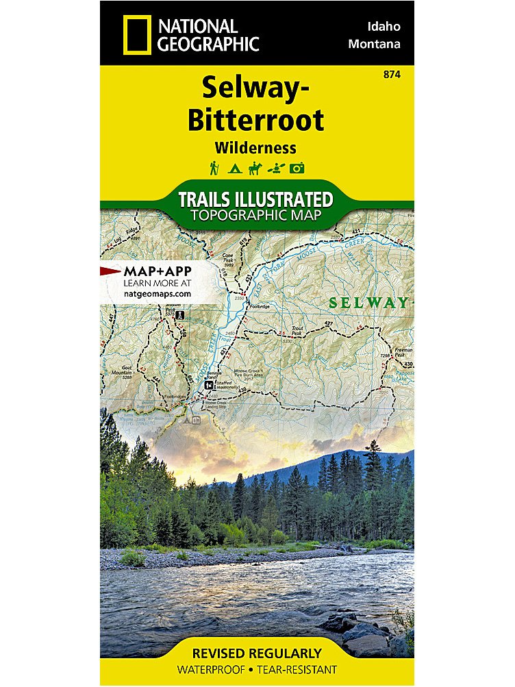
National Geographic's Trails Illustrated map of the Selway-Bitterroot Wilderness stretches from Missoula, MT in the north, to the northern edge of the Frank Church-River of No Return Wilderness in the south. The map includes both non-motorized and motorized trails, snowmobile routes, Idaho’s Game Management Units, backcountry facilities and landing strips, lookout towers, whitewater access sites, river camps, and milemarkers along major rivers. Large sections of the Idaho Centennial Trail and Lewis and Clark Trail run through the center of the map.
With hundreds of miles of both back-country and front-country trails the Selway-Bitterroot Wilderness map has something for every level of user. The entire wilderness is crisscrossed by trails, some of them are many days from the nearest road, perfect for a multiday wilderness adventure. Trailheads are clearly shown to plan a perfect day hike as well.
Every Trails Illustrated map is printed on "Backcountry Tough" waterproof, tear-resistant paper. A full UTM grid is printed on the map to aid with GPS navigation. Every map purchase helps support the National Geographic Society, an impact driven, nonprofit organization with global reach that uses the power of science, exploration, education, and storytelling to illuminate and protect the wonder of our world.
Other features found on this map include: Bitterroot National Forest, Bitterroot Range, Bitterroot River, Blackfoot River, Blacktail Butte, Blodgett Mountain, Blue Joint Wilderness Study Area, Clearwater Mountains, Clearwater National Forest, Elk City, Goat Heaven Peaks, Indian Henry Ridge, Lake Como, Lee Metcalf National Wildlife Refuge, Lochsa River, Lolo National Forest, Lolo Pass, Lolo Peak, Magruder Corridor Road, Painted Rocks Lake, Pot Mountain, Saint Joseph Peak, Saint Patrick Peak, Selway River, Trapper Peak.
Waterproof
Tear-Resistant
Topographic Map
Product Code TI00000871
UPC 749717000100
Folded Size 4.25" x 9.25"
Flat Size 25.5" x 37.75"
Copyright Date 2022
Page Count 2

The Idaho Recreation Map is a folded map version of the Recreation Guide pages within our Idaho Road & Recreation Atlas. One side provides a full state map that features Public Lands, extensive highway detail, point-to-point mileages, recreation attractions, campgrounds, parks and wildlife areas, fishing access points, hunting units (GMU), and inset area maps for Lake Coeur d’Alene, Greater Boise, Island Park, and Ketchum – Sun Valley. The reverse side includes a map of hunting zones & units and features categorized recreation listings with helpful descriptions, current contact information, and map grid references.
Weight 0.2 lbs
Folded Size 4" x 9"
Flat Size 38" x 27"
Page Count 2
Copyright Date 2016
Product Code BK26216480
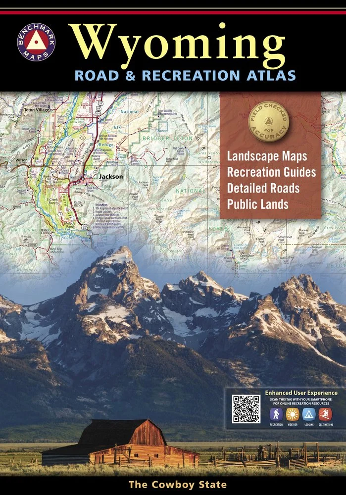
Wyoming is the heart of the American West. Experience the wild spirit of Wyoming with Benchmark''s Wyoming Road & Recreation Atlas. No other map product can better portray Wyoming''s rugged, sky-scraping peaks, or the vast openness where the deer and the antelope really do play! Benchmark''s field-checked Landscape Maps clearly depict the terrain, and pinpoint the many backroads that crisscross the state. The Recreation Guide includes mule deer hunting units and details the many outstanding recreation destinations and opportunities within.
Weight 1.05 lbs.
UPC
Product Code
Folded Size
Page Count 96
Copyright Date 2022

Benchmark’s field-checked Landscape Maps now show ground-cover detail at a very high resolution, now with BLM/State land overlay. US Forest Service areas now show private inholding boundaries. This feature is ideal for the person who wants to know the most about an area before visiting. Benchmark has extensively revised the Boise area metro map and the Recreation Guide has been thoroughly updated. And the atlas still has all of the features people love: generous page-to-page overlap, a usable GPS grid, and field-checked accuracy.
Weight 1.0 lbs
Product Code BE0BENIDAT
UPC 767020001096
Flat Size 11" x 15"
Page Count 96
Copyright Date 2020
NATIONAL GEOGRAPHIC POCKET GUIDES

This fun, affordable, beautifully illustrated introduction to birding is like taking a walk with National Geographic’s birding experts. Of this book’s 192 pages, 160 are devoted to North America’s top species, one per page, from the lowly House Wren to the majestic Bald Eagle. Carefully chosen illustrations and photographs capture the key details and typical behavior of each bird, paired with a short list of essential facts and a fun, fascinating, colloquially written “bird-ography” of each bird. (The latter feature is unique to this beginning field guide). Pictures plus facts plus story: a winning combination. With a small trim size and colorful illustrations, this pocket guide is easy on the eyes and easy to stash. A useful color index aids identification; tips throughout show how to observe, track, and identify birds in nature.
Weight 0.5 lbs
Folded Size 4.25" x 7.25"
Product Code BK26210440
Copyright Date 2013
Page Count 192

With this basic beginner’s field guide to North American wildflowers, all who enjoy nature and the outdoors can identify common wildflowers, from backyard weeds to dainty forest blossoms. In a logical, user-friendly, highly visual format, this new title offers key facts about 160 of the most common wildflowers and weeds, coast to coast, including Canada and Alaska. To help with identification, each of the 160 entries has both a color photograph showing the plant in context and a color illustration showing the blossom close-up. This book is the perfect starting point for anyone, young or old, interested in learning how to identify wildflowers.
Weight 0.5 lbs
Folded Size 4.25" x 7.25"
Product Code BK26212819
Copyright Date 2014
Page Count 184

This field guide combines spot-on descriptive information, definitive photography, animal track silhouettes, and key facts in a handy, easy-to-reference volume. Including selected photography and newly commissioned art and graphics to help identify each mammal species, this book includes tips on how to observe, track, and identify mammals in nature. Beautifully designed and illustrated, with logical organization and bulleted information, this pocket guide is useful in the field or as an in-home reference.
Weight 0.5 lbs
Folded Size 4.25" x 7.25"
Product Code BK26216480
Copyright Date 2016
Page Count 184
![POCKET GUIDE TO THE NIGHT SKY OF NORTH AMERICA [1ST EDITION]](https://images.squarespace-cdn.com/content/v1/65a6c7fa87be9c0a7514856f/1710369130215-SS03U0OIXFCSAMSFVUHX/BK26217852_0_LG.jpg)
We all gaze at the night sky in wonder—and this guidebook, the ninth in the National Geographic Pocket Guide series, provides a go-to reference for everything filling the dark canvas above us. A basic guide to the solar system, distant galaxies, exoplanets and deep space, satellites and spacecraft, the big bang, meteor showers, and moon phases, this book also features scores of sky and constellation charts for stargazers. Each of the 147 featured topics includes a photograph or explanatory illustration or graphic. Interesting facts and tips throughout offer a quick guide to observing the night sky with the naked eye, from the Big Dipper and the North Star to auroras and eclipses.
Weight 0.5 lbs
Folded Size 4.25" x 7.25"
Product Code BK26217852
Copyright Date 2017
Page Count 184

This basic beginner’s field guide to North American geology helps anyone identify common rocks, minerals, gems, fossils, and land formations. In a logical, user-friendly, highly visual format, this new title–one of an expanding collection of National Geographic pocket guides–offers key facts about dozens of rocks and minerals, how to hunt and identify them, where and how to go looking. The book also pictures and explains the fossils most likely to be found and the fundamental land and rock formations in the North American landscape. With 160 entries, formatted with clear language, key identification points, carefully chosen photographs, and expertly drafted illustrations, this guide is the perfect starting point for anyone, young or old, interested in the study of rocks and geology.
Weight 0.5 lbs
Folded Size 4.25" x 7.25"
Product Code BK26210440
Copyright Date 2013
Page Count 192
The playground of trails and outdoor recreation areas north and east of Boise, Idaho is among the best of any city in North America. National Geographic’s Boise National Forest South Illustrated Map features the Ridge to Rivers Trail System and the local parks accessible from downtown Boise, including a detailed trail chart. Beyond this local trail system, the map features the extensive multi-season and multi-use trails and recreation areas of Boise National Forest, Lucky Peak State Park and Boise River Wildlife Management Area, Thorn Creek Management Area, and BLM lands to the north and east of Boise as far as Anderson Ranch Reservoir, Steel Mountain, Swanholm Lookout, and West Warrior Peak.
The map features Trinity Mountain, the highest peak in the Boise Mountains, with its lookout tower and the camping and recreation areas at its base, plus the extensive system of alpine lakes, motorcycle and ATV trails and snowmobile routes of the Trinity Mountains to the east. The other trails, trail systems, facilities, and campgrounds across the Boise Mountains, Boise Basin, and Danskin Mountains are also comprehensively mapped and labeled. Campgrounds and water recreation facilities, put-ins, and boat-ins are marked along the Boise River and its North, Middle, and South Forks and Lucky Peak Lake, Arrowrock and Anderson Ranch Reservoirs. The map includes all towns and villages, including historic Idaho City, as well as Bogus Basin Ski Area and the south end of the Payette River Scenic Byway.
All trails are marked and labeled with trail mileages and uses, with steep slopes clearly indicated. Road mileages for navigating through the region are also marked and labeled to help estimate travel times. The map margins include fishing, hunting, and motorized vehicle regulations, plus contact information for local, state, and federal land and resource management agencies and Leave No Trace guidelines and ethics.
Every Trails Illustrated map is printed on “Backcountry Tough” waterproof, tear-resistant paper. A full UTM grid is printed on the map to aid with GPS navigation. 27% of the proceeds from the sale of this map fund the National Geographic Society’s work in the areas of science, exploration, conservation, and education.
Other features found on this map include: Anderson Ranch Reservoir, Arrowrock Reservoir, Boise Mountains, Boise Ridge, Danskin Mountains, Little Camas Reservoir, Long Tom Reservoir, Lucky Peak Lake, South Mountain, Trinity Mountain.
Waterproof
Tear-Resistant
Topographic Map
Product Code TI00000876
UPC 749717054233
Folded Size 4.25" x 9.25"
Flat Size 25.5" x 37.75"
Copyright Date 2022
Page Count 2